




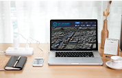



NATURAL RESOURCES SURVEY & MONITORING
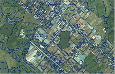
Land Survey Image Map
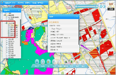
Four-Level Land Survey Database
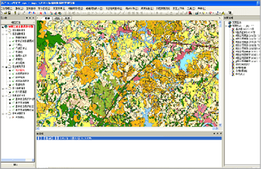
Land Survey Data Analysis Service Platform
Relying on its professional expertise in photogrammetry and remote sensing technology, satellite navigation and positioning, and geographic information systems, TIRAIN Technologies has developed an integrated natural resources survey and monitoring solution covering data acquisition, database construction and verification, management and quality inspection, statistical analysis, dynamic monitoring, and shared services.
Natural Resources Survey & Monitoring
Based on satellite remote sensing, UAV aerial photography and other technical means, it provides technical support and data services for natural resources survey and unified identification of rights, integrated system management of mountains, rivers, forests, lakes, grass and sand, natural disaster risk survey, "two zones" delineation project, land space planning system construction and other projects, and carries out monthly and quarterly geographic information dynamic monitoring services for specific areas.
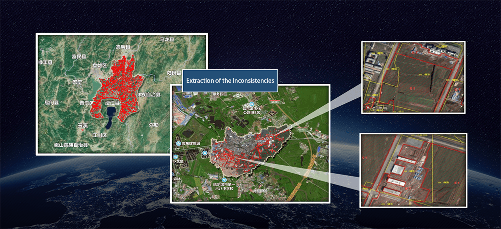
Remote Sensing Data Service
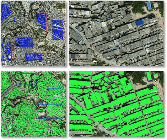
Automatic Building Extraction Based on Deep Learning
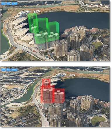
3D Real Scene Smart Dynamic Monitoring and Recording the Urban Development & Changes
Urban Development & Change Monitoring
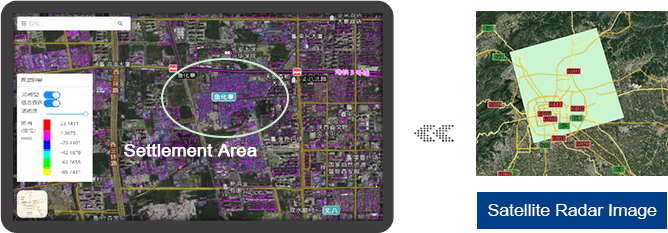
Ground surface settlement monitoring is based on SAR data of the same track in different time periods to monitor urban ground surface settlement.