


Spatiotemporal Information Service Cloud Platform | TIRAIN Technologies

Data Services
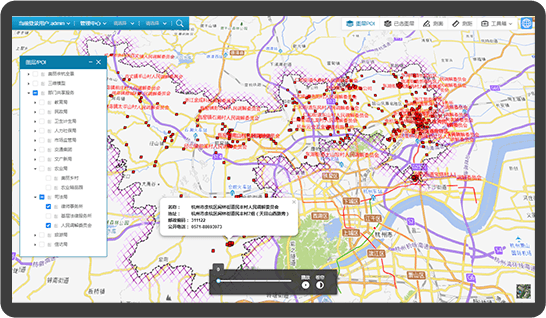
TIRAIN integrates the basic spatial data such as basic geospatial framework feature data, geographical name & address data, POI data, 3D model data, panoramic image data, and provides a series of support tools including spatial data operation and maintenance, update, and online services, and provides a basic platform for the release and operation of regional basic spatial data.
Resource Display
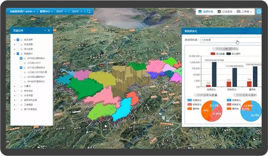
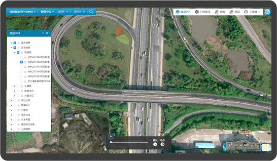
The platform is able to provide the service function of basic data browsing, querying, loading and management services. TIRAIN can an integrated 2D / 3D resource showcase platform services, and cross-platform data browsing function. TIRAIN can customize a complete application solution according to the needs of different regions.
Shared Services
We provide data sharing and management services, including but not limited to service registration authentication, user service discovery, service directory management, metadata service, map application, map coding, and interface services for data sharing and exchange.
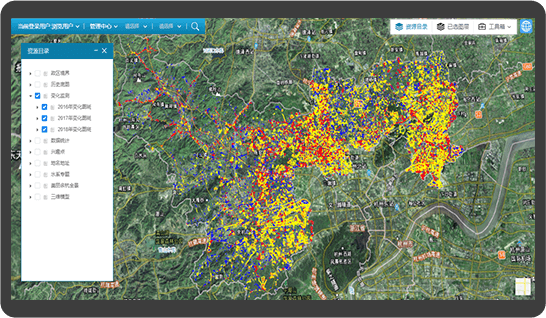
Dynamic Monitoring
The platform invests in updating data independently, regularly purchases high-precision data from home and abroad, and retains historical data. It is capable of providing the government departments with dynamic monitoring and change extraction services, helps users of all departments improve their service and business capabilities, and provides dynamic and current dynamic spatial assisted decision-making data services. Government users only need to subscribe services on an annual basis to reduce repetitive and ineffective construction, and operation and maintenance costs.