







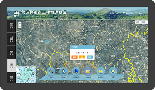
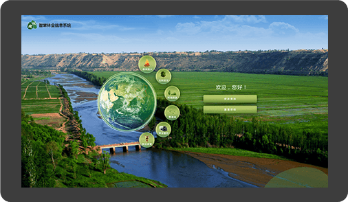

On the basis of making full use of key theories and technologies such as satellite remote sensing, mobile communications, Internet of Things, remote monitoring, UAV oblique photography, the smart forestry system introduces spatial thinking, and through intelligent sensing, forestry information collection, forestry information integration, forestry information cache, forestry information encryption, forestry information transmission, forestry information storage, and active query by the host supervisor computer.

Record, update, manage and analyze forest resource data for a clear view of local forest resources.
Plan afforestation projects, assess results, manage key works and show project outcomes clearly.

Use smart fire detection, automatic alarms and remote command to improve patrols and wildfire response.

Collect survey data to better understand the history and current condition of ancient and notable trees.