



Realistic 3D Data Services | TIRAIN Technologies

3D Real-Scene Service
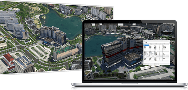
The Ministry of Natural Resources issued the Notice on Promoting the Construction of 3D Real-Scene China in an All-round Way, emphasizing that a large number of government decisions, production scheduling and life planning in future will be completed based on the 3D Real-Scene Space. TIRAIN Technologies is capable of a full range of multi-level 3DRS services, which includes the service capability of multi-level 3DRS data products based on new surveying and mapping technology, providing more efficient data of entities for terrain-level 3DRS, data of high-precision entities for city-level 3DRS, all-feature semantic data of entities for component-level 3DRS and other standardized products.
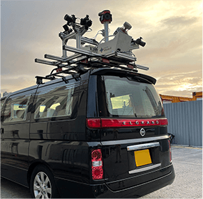
▲ Vehicle Mobile Mapping Survey
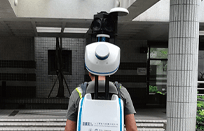
▲ Backpack Mobile Mapping Survey

▲ Oblique Photography(Helicopter)
3D RS Capture System
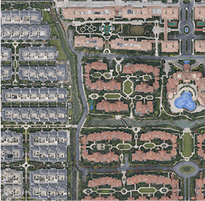
▲ DOM
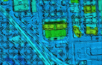
▲ DSM
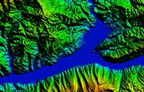
▲ DEM
entities for terrain-level 3DRS
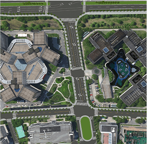
▲ Regional 3D Scene
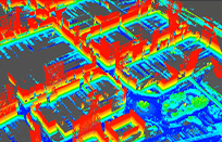
▲ Laser Point Cloud

▲ Street Image
entities for city-level 3DRS
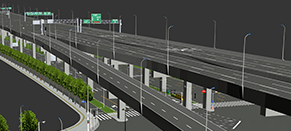
▲ All-feature 3D Modeling
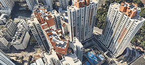
▲ 3D Urban Scene
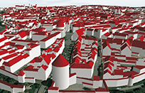
▲ Semantic Structural Modeling
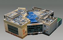
▲ Individual Model
entities for component-level 3DRS