


CMI City Information Model Platform | TIRAIN Technologies

3D Visualization of the Multi-sourced Data
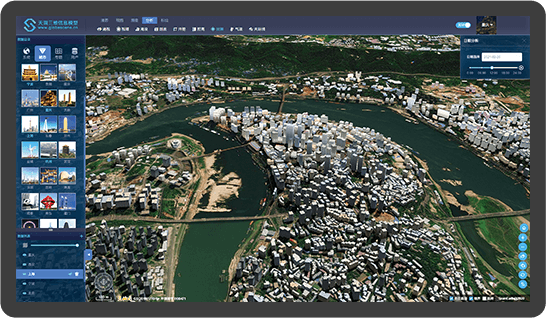
As a 3D visualization management platform, the information model platform has realized the uniformity of platform and application services, and it is easy to be copied and expanded. It can load various kinds of vector, image, terrain and other conventional geographic data; Support the loading of various 3D model data, such as 3D models generated from oblique aerial images, point cloud, manual modeling data, etc.; Support the loading of two-dimensional and three-dimensional field data, such as wind field, ocean current, temperature, etc.; It provides 2D and 3D GIS functions such as scene roaming, measurement and analysis; It can also provide with dynamic particles and visual display effects.
City-level Data Integration
City 3D Model is the digital representation of 3D spatial features, thematic features and appearance features of urban features and landforms, and has become an important urban mapping geographic information achievement. At present, the platform has integrated more than 30 domestic municipalities' lightweight city model data, realized the integrated representation of city-level geographic information data, and built a 3D spatial geographic information data framework, which can support the application of multiple types of urban intelligent systems.
Smart Analysis
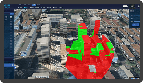
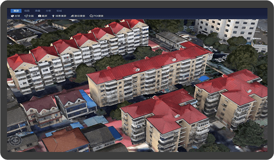
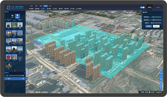
Provide the toolbox to analyze the ground surface such as fill and excavation, slope, aspect, profile and mountain shadow based on grid surface by means of visualization; Based on 3D points, lines, polygons and solids, it can perform 3D closure, buffer, intersection, difference, proximity, merging, interior and other 3D topological analysis and calculation; At the same time, it supports 3D visibility analysis including intervisibility, horizon, skyline, skyline obstacle, skyline chart and sunshine analysis.
Assist in Decision-making
On the basis of City Geographical Information, the 3D Digital Models of Buildings and Infrastructure are generated to express and manage the City 3D Spatial Base Platform, which is auxiliary decision-making platform for urban planning, construction, management and operation. It is also the basic, critical and physical information infrastructure of Smart City.